
Description
Immersive 3D maps bring routes and adventures to life, letting users explore terrain, cities, and destinations like never before.
Craft beautiful routes for every adventure Immersive 3D mappingVisualize landscapes, trails, and routes in dynamic 3D, offering an elevated perspective for planning and navigating outdoor adventures.
Tailored map layersAdjust perspectives and explore detailed layers that bring out key features like elevation, landmarks, and difficulty levels—all at a glance.
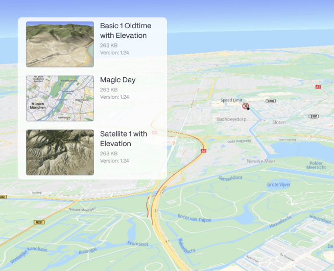
Customize every detailConfigure map views with a variety of themes, enabling tailored solutions for different use cases and environments.
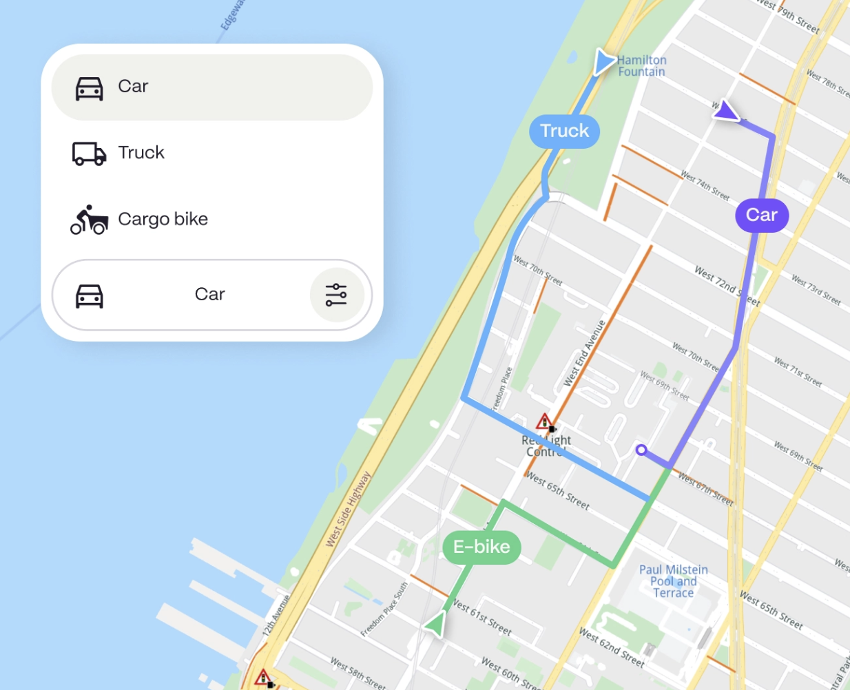
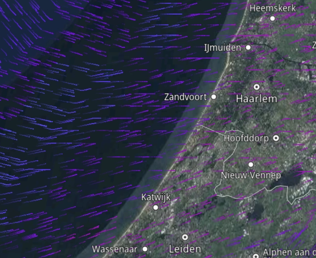
Basic Night Bike first Satellite Terrain Smart route calculation Real-time data and updatesAccess live weather, terrain, and traffic data to optimize routing and ensure a smooth user experience.
Advanced route planningEasily tailor routes based on terrain, fitness level, or activity, with AI optimizing the best paths.
Always on. Even offline.Our lightweight technology lets you download maps and 3D scenes for offline use, ensuring navigation in remote or disconnected areas.
100% surveillance free Designed for privacy, securing data and location at every step Additional features Fitness tracking integrationSeamlessly sync with fitness devices and apps to track performance, analyze stats, and monitor progress over time.
Community & sharingConnect with a global community, share routes and achievements, and join challenges for extra motivation.
Push notificationsGet real-time updates on route changes, safety alerts, and friend activity on the routes you follow.
HeatmapsExplore popular routes with heatmaps powered by community activity data.
Geotagged photos & videosCapture moments with automatic location tagging to showcase every adventure.
Elevation profilesSee detailed elevation changes along your route to prepare for climbs and descents with ease.